Katie Lofton
Outdoor Adventure Programmer
Last year, Outdoor Adventure applied for and was awarded a Tad Jeffrey Grant toward the purchase of backcountry satellite navigation and communication devices. Outdoor Adventure already offers a variety of backpacking, hiking and camping-related programs, so these devices were the next step in growing our visitors into knowledgeable outdoors people.
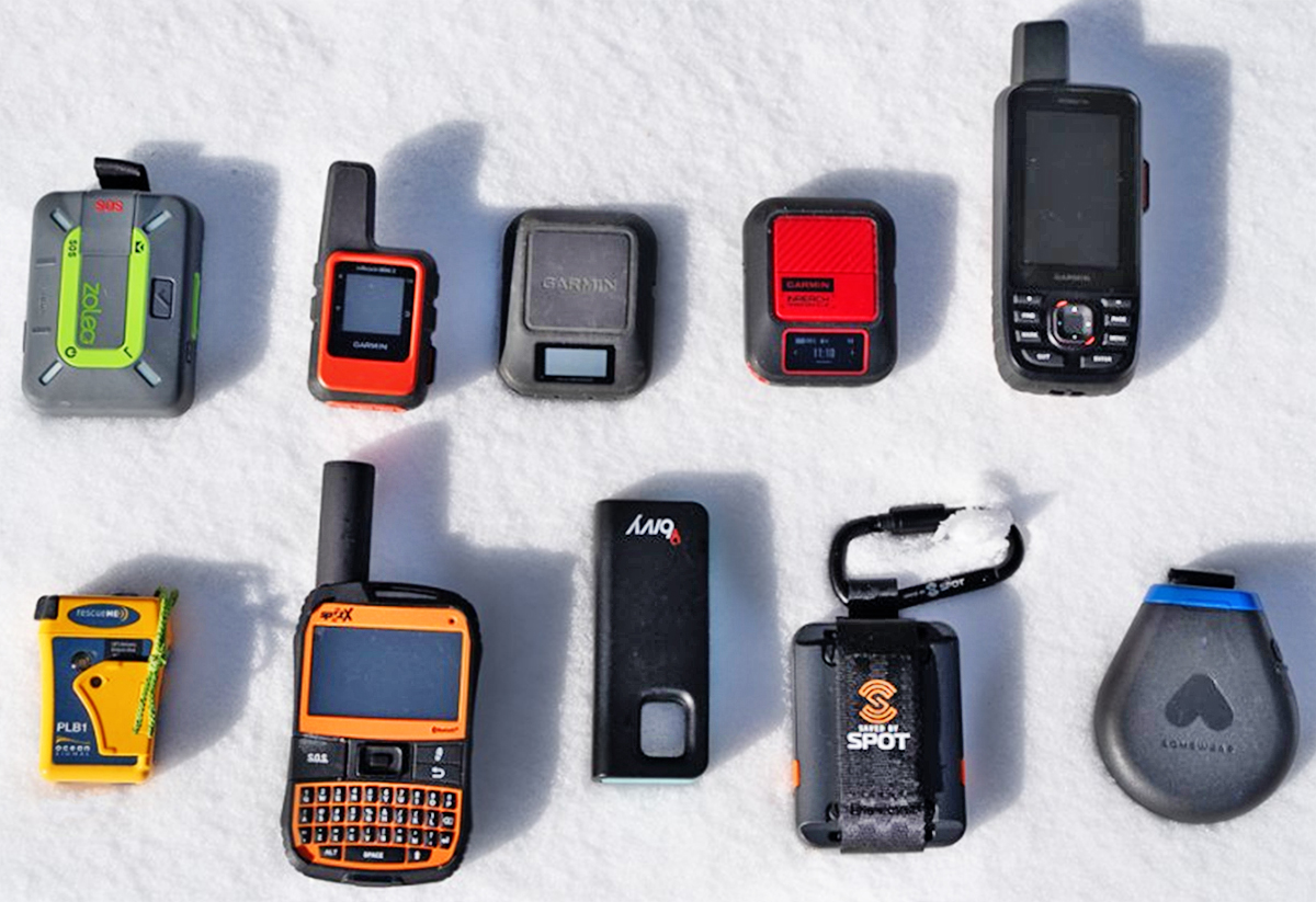
These devices can be costly, and their monthly subscriptions can be a hassle for the typical casual hiker or backpacker, especially in Ohio where there is a lack of extremely remote areas. With our grant, we were able to purchase a variety of devices: the Garmin GPSmap, inReach, and eTrex, as well as the Zoleo, Spot X, and Motorola Defy.
Satellite devices essentially fall into three main categories: messengers, navigation, and personal locator beacons (PLBs). The devices we purchased fall into one or both of the first two categories. PLBs are a whole different type of device – they are typically a higher up-front cost (around $400), BUT no subscription or charging is required. The devices operate through NOAA, with a very strong and consistent satellite. They are only an SOS emergency device, with no messaging.
Satellite messengers offer two-way communication, typically through a phone app, since the more affordable devices do not have screens. Most are around $150, not including activation fees and monthly subscriptions. “Check-ins,” essentially a bread crumb trail texted or emailed to a predetermined recipient at pre-set time intervals, and an SOS button are also included features.
Satellite navigation devices typically combine navigation or maps with two-way messaging, making their price double (or more), ranging from $300-800+. Many Garmin devices are compatible with Garmin map and messaging apps, and even Garmin watches, making the experience more seamless. The mapping becomes more advanced as the price rises, ranging from an arrow on a line to a full-color topographical map.
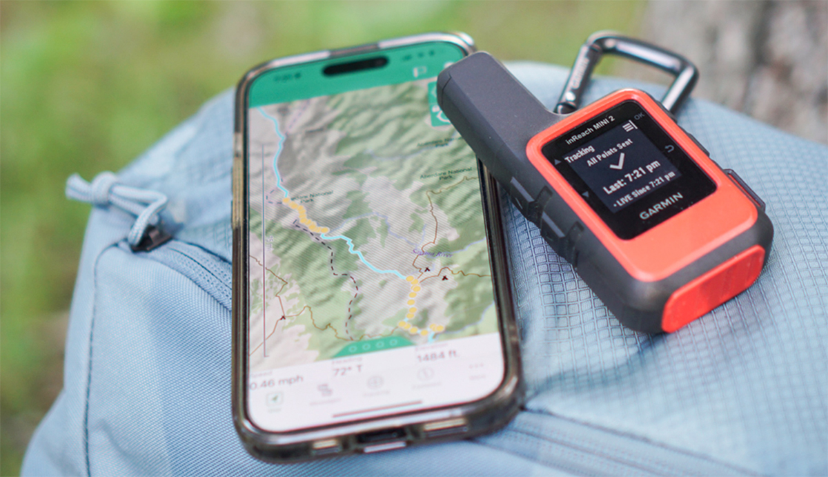
With these devices, we are excited to be able to offer much more to our novice backpackers by giving them a safe place close to home to become comfortable with the devices and test them out. This way, people can make an informed decision on how/what to buy for their next solo backcountry endeavour. It will also give us as programmers a safer way to explore more remote areas of parks such as Battelle Darby Creek and Clear Creek with maps and waypoints, and a way to reach out for help if an emergency arises on a program.