Map & Directions
Photo David Hoffman

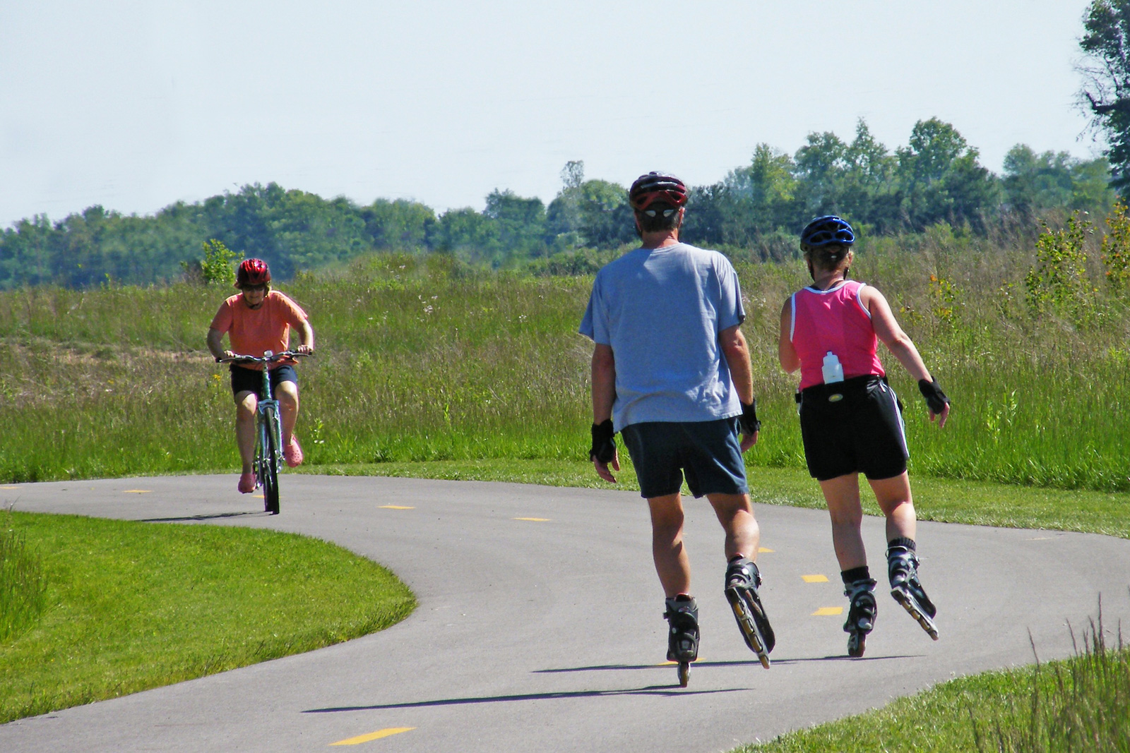
Trails
Arrowhead
1.6 miles
Easy – Hike – Grass
Goes through fields and forest and crosses George Creek.
Blacklick Creek Greenway
16 miles
Easy – Hike, Bike, Pets – Paved
Connects three Metro Parks and several small parks from Reynoldsburg to Groveport.
Burning Lake
1.6 miles
Easy – Hike, Bike, Pets – Paved
Loops through wildflower fields and a small woodland, passes wetlands.
Killdeer
1 mile
Easy – Hike – Gravel
Goes around Blue Wing Pond and leads to an observation deck overlooking Pintail Marsh.
Meadowlark
0.8 miles
Easy – Hike – Grass
Follows Pickering Creek and loops around grassland.
Observation
0.2 miles
Easy – Hike – Grass
Leads to an observation deck overlooking Ellis Pond.
Paw Paw Pet
0.7 miles
Easy – Hike, Pets – Grass
Crosses Pickering Creek and goes through a wetland.
Pond
0.3 miles
Easy – Hike – Paved
A double-loop trail, partly through woods.
Yellowlegs
0.6 miles
Easy – Hike – Gravel
Crosses Pickering Creek and goes through a wetland.

Shelters
Non-Reservable Shelters
Burning Lake Picnic Area
Area has access to Blacklick Creek Greenway Trail. Features a pond, playground and has a drinking fountain and restroom.
One shelter: 67 Parking spaces plus four handicapped parking spaces, electricity, large charcoal grill, picnic tables, seating for 40
Glacier Knoll Picnic Area
Area has access to Blacklick Creek Greenway Trail. Features an observation deck and has a drinking fountain and restroom.
One shelter: 38 Parking spaces plus two handicapped parking spaces, electricity, large charcoal grill, picnic tables, seating for 60
Wood Duck Picnic Area
Area has two observation decks overlooking ponds and marshes
One shelter: 30 Parking spaces plus two handicapped parking spaces, charcoal grill, picnic tables, seating for 20
Non-reservable shelters are available free to use on a first-come, first-served basis. Shelters are available when the park opens at 6:30am and can be retained while someone from your party remains at the shelter.

Activities

Blacklick Greenway Trail: 16 miles
Connects three Metro Parks and several small parks from Reynoldsburg to Groveport
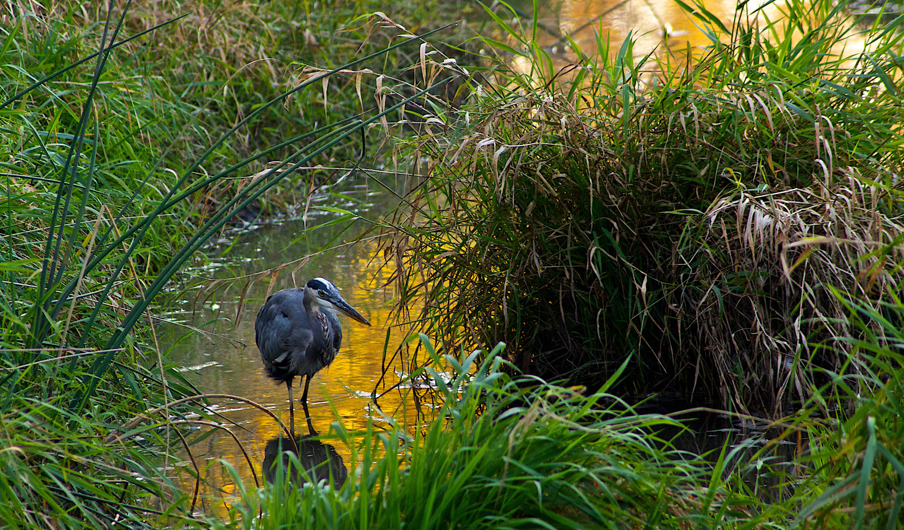
A 418-acre state nature preserve includes a buttonbush swamp, marshes and ponds. Marsh plants, grasses and sedges provide ideal habitat for many species of birds. Features four observation decks overlooking ponds and marshes. A fifth observation deck overlooks Arrowhead Marsh.
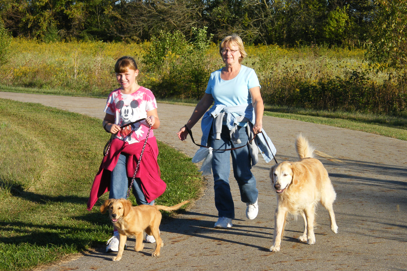
PET TRAILS
Blacklick Greenway Trail: 16 miles
Connects three Metro Parks and several small parks from Reynoldsburg to Groveport.
Domesticated dogs and cats are also permitted in picnic areas, parking lots and on roadways. Pets shall be on a leash no longer than 6 feet.
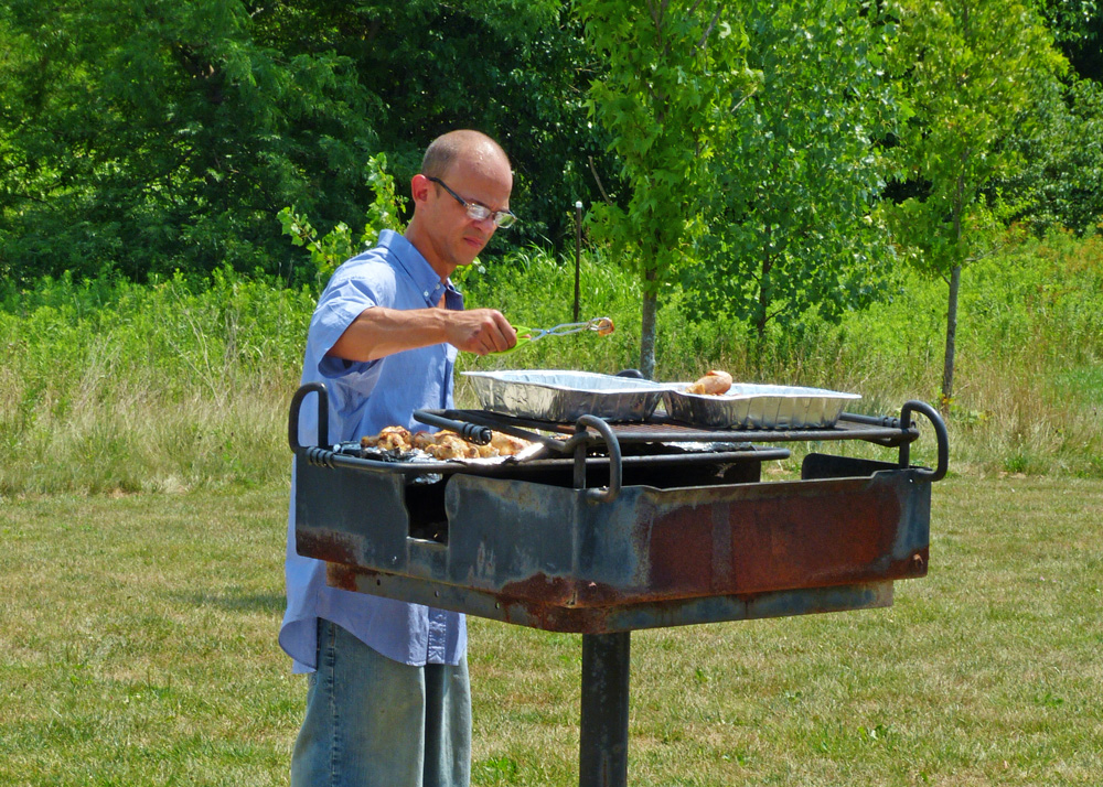
Three picnic areas are available on a first-come first-served basis. They feature tables and grills.