ALERTS
Sign up to get text alerts on your cell phone for Greenway Trail closings, hazards and construction information.
Text “Greenways” to 1-781-728-9542 or go to https://mobile-text-alerts.com/metroparks and select “Greenways”
The central Ohio Greenways are multi-use trails used for recreation and alternative transportation. Greenways connect people to the places they live, work and play as well as preserve open space to promote air and water quality. Metro Parks works with several agencies and communities to create and maintain these trails for the citizens of central Ohio. (More information from MORPC at: morpc.org/central-ohio-greenways).
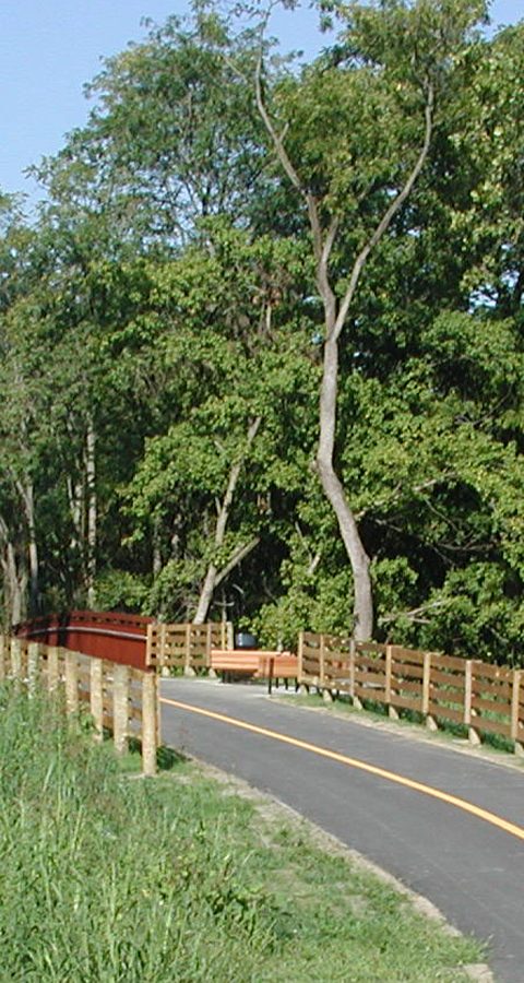
Alum Creek Trail
24.5 miles - paved – The trail runs south from Westerville to Three Creeks Metro Park.
Metro Parks manages a 22-mile section of the trail south of I-270 in Westerville to its end in Three Creeks, where it meets with the Blacklick Creek Trail.
Blacklick Creek Trail
16 miles - paved – This scenic trail weaves users through the Blacklick Creek greenway corridor. Users of this trail can travel to three Metro Parks: Pickerington Ponds, Blacklick Woods and Three Creeks.
Metro Parks manages all sections of the Blacklick Creek Greenway Trail, except for a short section north of Blacklick Woods Metro Park.
Camp Chase Trail (part of the Ohio to Erie Trail)
12.5 miles - paved – This bike trail takes users from Wilson Road in Madison County, weaves through Battelle Darby Creek Metro Park and continues to Sullivant Avenue in Columbus. It is also part of the more extensive Ohio to Erie Trail and US Bicycle route 50.
Metro Parks manages the Camp Chase Trail.
Darby Creek Trail
8.3 miles - crushed gravel – A 4.9-mile section of the trail runs through Battelle Darby Creek Metro Park. A 3.4-mile section runs through Prairie Oaks Metro Park.
Metro Parks manages all of the Darby Creek Trail.
Heritage Trail
6.1 miles - paved – The trail runs from the historic Old Hilliard district to Plain City.
Metro Parks manages a 3.7-mile section of the trail.
Downtown Connector Trail
5 miles - paved – The bike trail travels from Fort Hayes, east along I-670, following Leonard Avenue. It connects to the Alum Creek Trail at Nelson Road.
Metro Parks manages a 0.75-mile section of the trail.
Olentangy Trail
15 miles - paved – This scenic trail takes users through the Olentangy greenway corridor, from Worthington Hills Park south to Confluence Park in downtown Columbus.
Metro Parks manages 11 miles of the trail, from Worthington Hills to I-270 on the north side, Antrim Park to Lane Avenue, and King Avenue to Confluence Park.
Scioto Trail
10 miles - paved – The trail stretches through the heart of Columbus alongside the Scioto River and runs through Scioto Audubon Metro Park. It is a great trail for commuting downtown.
Metro Parks manages 8 miles of the trail, from SR 104 north to Bicentennial Park, Veteran’s Memorial west to Souder Avenue, and Confluence Park west through Marble Cliff to Fifth Avenue, and patrols to other parts of the trail.